Important factors for bike navigation apps
With lite navigation, cyclists can quickly see important details about their route without needing to keep their screen on or enter turn-by-turn navigation. At a glance, you can track your trip progress, see your ETA update in real-time, and even know the elevation of your route so you can keep your focus where it needs to be — on the road.
Why is dedicated bike navigation important?
And what features do cycles need that are not available in turn-by-turn car map apps?
What do we do in practice when riding with kids?
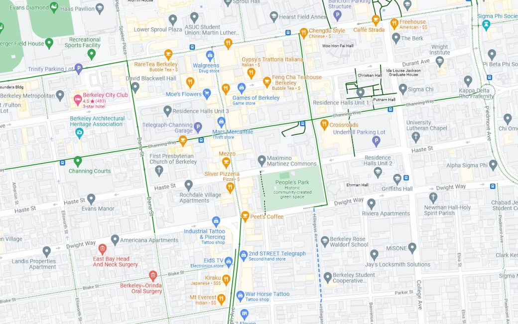
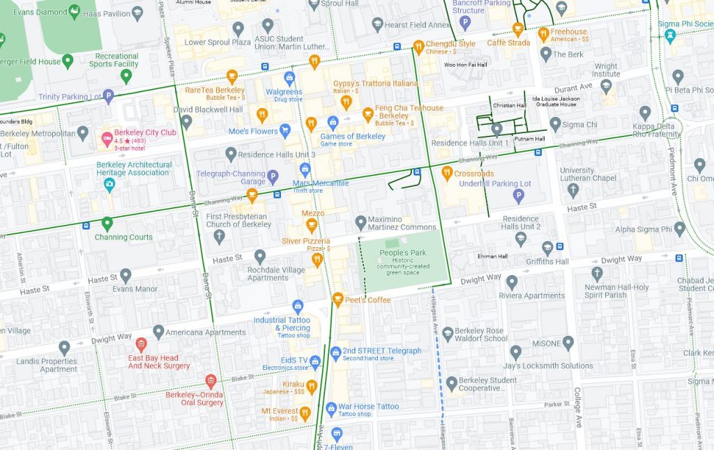
When riding with kids, I usually plan a route on Google maps first. If the route is unfamiliar,I refer to the app once in a while during the ride. I look for Slow Streets which are helpfully marked with a dotted blue line and bike lanes, marked in a solid green line. We prefer the Slow Streets by far over other traditional bike lanes (paint-separated), especially on busier streets.
We also choose residential streets with no bike lane but little traffic over a busier street with a painted-stripe style bike lane. The few protected bike lanes (such as the one on Milvia) that exist are helpful.
What do I do when riding an unfamiliar route with adults?
I usually create a route on Google Maps on the computer before the ride. This way I can prioritize routes with less cars and better bike lanes and infrastructure. Then, I either save the route and use it for turn-by-turn when riding at times. Or I refer to it periodically during my ride, especially when I need to make turns. My phone is old, the battery is in rough shape, and I generally can't afford to keep the GPS on for a large chunk of the day.
 to help kids joyfully bike to school")
 in Brentwood. A successful 20-mile adventure by bike!")


")